
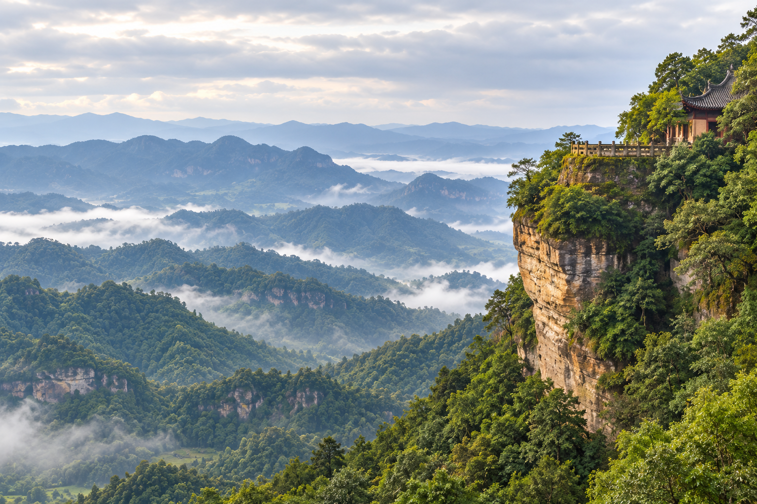
Gujian Mountain in Qijiang suits a 2026 Chongqing side trip focused on forest walking and Jingyin Temple. Qijiang Daily published a roughly 9 km intermediate circuit in May, but access and return transport still need checking. Our recommendation is to choose a temple-focused visit or the longer walk before arranging your journey.
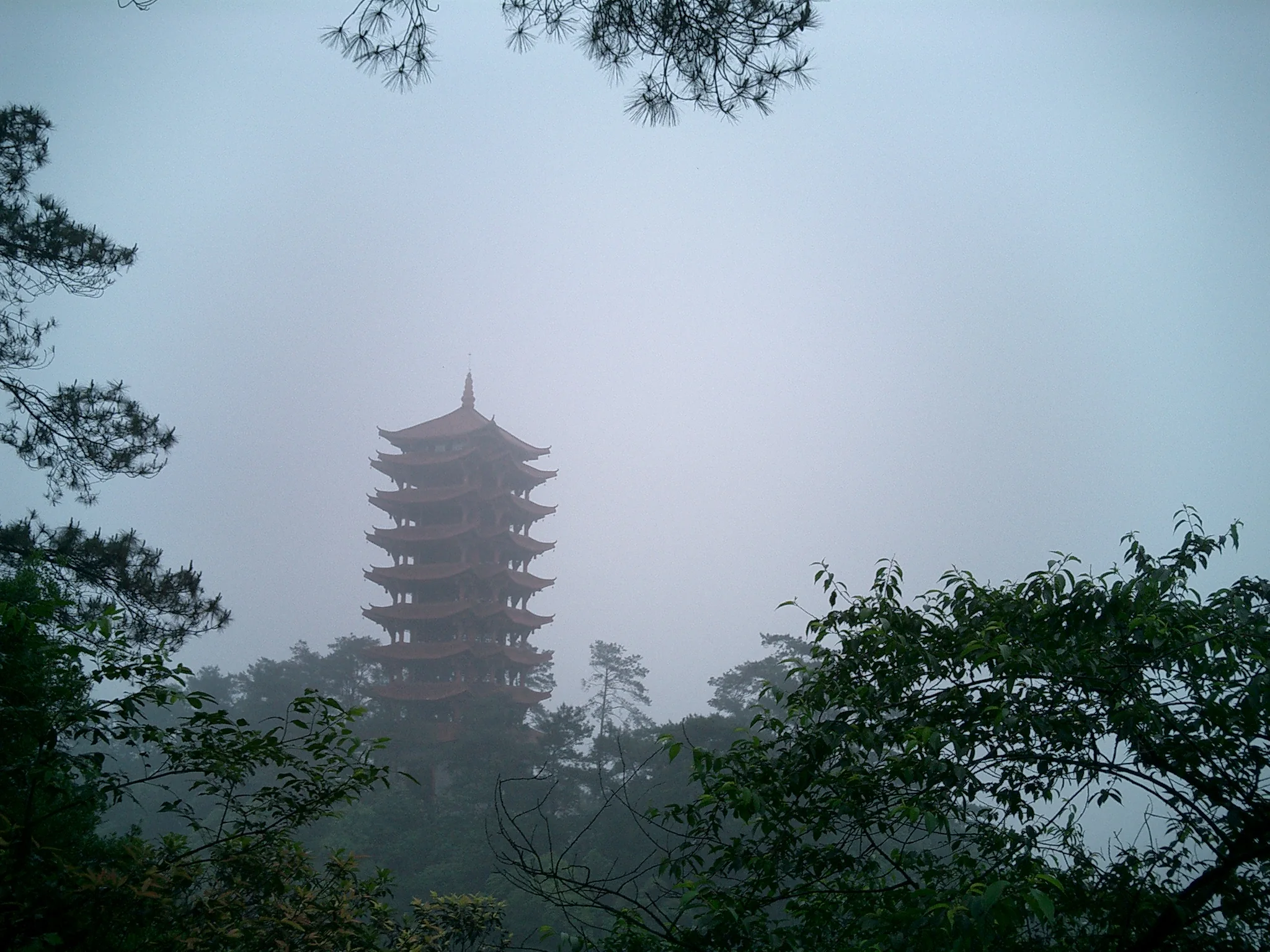
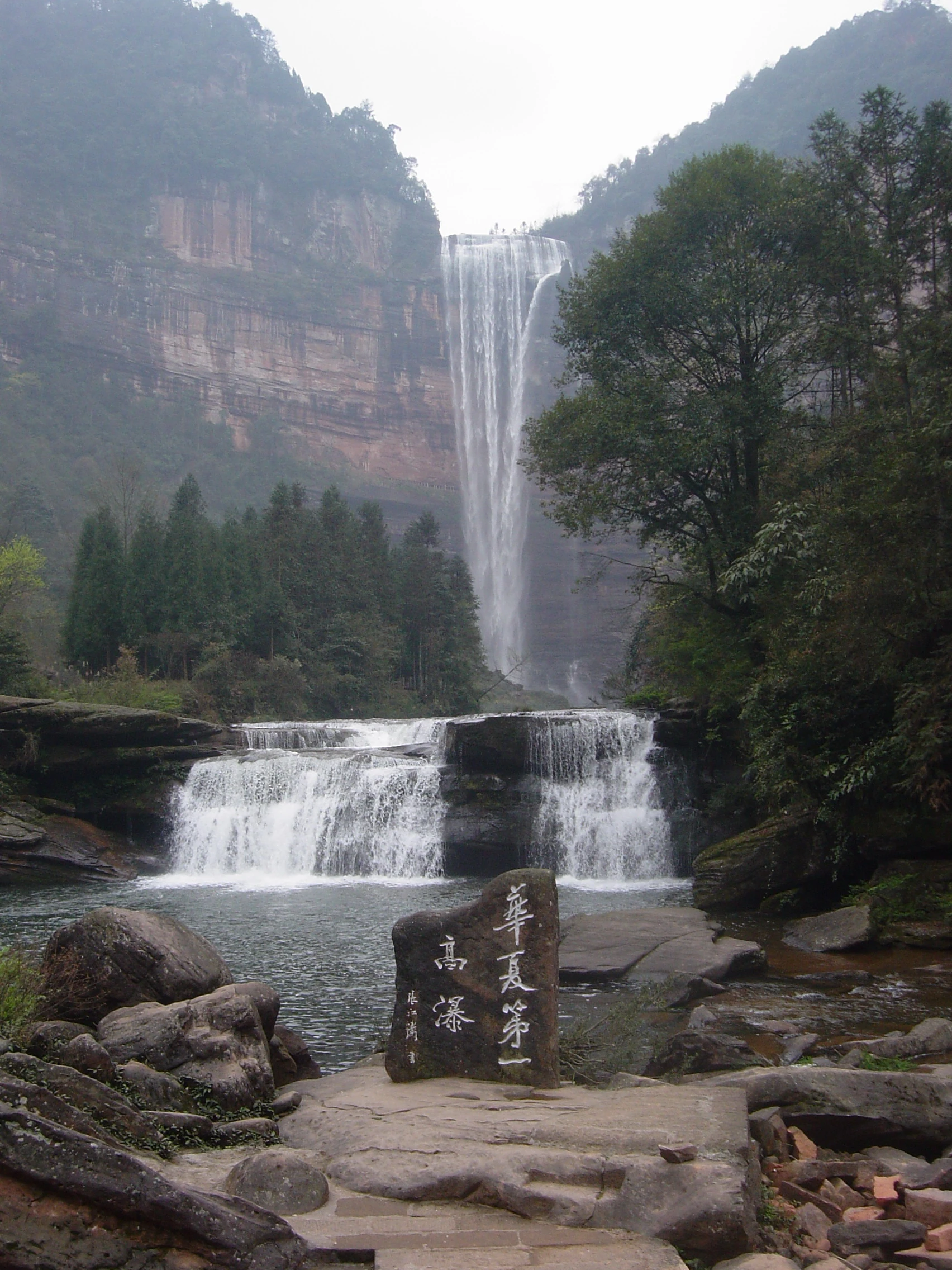
Image disclosure: the cover and three landscape images are original AI-generated approximations informed by a real Gujian Mountain reference photograph. They show the landscape character, not exact viewpoints, current conditions or a verified trail. The route diagram is an original planning schematic, not a navigation map.
Decide what kind of mountain day you want
The combination here is specific: a forested Qijiang mountain, Buddhist temple sites and a walking circuit that mixes paths with roads. A May 2026 Qijiang Daily report describes the area at approximately 800–1,200 m elevation. Treat that as the report's landscape range, not a precise summit measurement or the amount you will climb.
We would choose Gujian for a day with one clear purpose: temple architecture and a manageable walk, or the longer published circuit if conditions allow. It is less suitable when your plan depends on a guaranteed cloud sea, an effortless summit or a fixed return minute. Scenic photographs cannot tell you whether a path is open, and an attraction listing cannot settle which gate a driver should use.
Save the Chinese name 古剑山 and the district 綦江. For the temple, save 净音寺 and distinguish its lower and upper sites. These names are more useful for arranging the last stage of the trip than an English mountain name alone.

Understand the published 9 km circuit
The local report's sequence is: Jingyin Temple lower site → Baoji Road → Jingyin Temple upper site / Yangqiao → Guanzizai → Sanjing Lake → Service Station No. 2 → lower-temple car park. It gives approximately 9 km and 3–4 hours, describes the difficulty as intermediate and mentions steep stone steps. These are published May 2026 estimates, not measurements from our own walk.
That distinction matters. The stated duration should not become a door-to-door day-trip budget. Add your own allowance for transport, finding the starting point, breaks and slower descent. We would also leave room to turn back without missing the agreed ride. The source report is useful for identifying the intended circuit, but it does not establish that every connection remains open today.
Before starting, ask staff to confirm the complete sequence, including the lake and return leg. Keep these Chinese labels together: 净音寺下院、宝髻路、净音寺上院、阳桥、观自在、三镜湖、2号服务站. A sign or current instruction on the ground takes priority over this diagram. Do not improvise a shortcut because a phone map draws a connecting line.

Make the temple visit a destination in its own right
The same local reporting traces Jingyin Temple's predecessor, Dongyue Temple, to the Northern Song period. That historical origin is not a claim that every present building is 1,000 years old. For a visitor, the useful distinction is between the lower temple, the upper temple and the landscape around Yangqiao: they are separate names in the published route, not interchangeable drop-off instructions.
Our suggested shorter plan is to confirm an accessible arrival point, visit the currently open temple area and choose an out-and-back walk that staff judge appropriate for your group. This is an editorial alternative, not a measured official short trail. Ask about steps before committing; “temple visit” does not mean level access, and we have not verified a step-free route.
Let worshippers use doorways and prayer areas without obstruction. Ask before photographing interiors or people, and follow local instructions about incense and restricted spaces. If you mainly want photographs, focus on rooflines, stonework and forest layers from permitted public positions. A closed gate is a reason to change the plan, not to search for another entrance.

Plan access in two stages, then solve the return
Think of the trip as 2 separate arrangements: reaching Qijiang and reaching the confirmed mountain starting point. If using rail, check current services to your selected station and arrange the onward connection separately. This guide has not verified a particular train, rail fare, driving duration or a direct station-to-temple service.
The Qijiang government's 2025 bus information, read again on 6 October 2026 UTC, lists bus 504 between 二级车站 and 古剑山, with the north gate and visitor centre among the stops. The published starting terminal is not the same name as Qijiang East railway station. Do not assume the train delivers you to the bus boarding point.
Use that route number as a question to ask, not as a confirmed live service. Check today's boarding stop, mountain stop, departures, fare and return arrangements with the operator or local visitor service. The page contains seasonal timetables; we deliberately do not reprint a last-bus time as a 2026 promise.
For an arranged car, agree on the exact drop-off and pickup pins, the latest return time and what happens if a road closes. Ask whether the price includes waiting, parking and the return journey. For an app-booked ride, do not infer that an outbound booking means a car will be available on the mountain later. Keep an agreed fallback before setting off.
Keep the art village and rafting out of an automatic add-on
One issue deserves attention before copying a multi-stop itinerary. An April 2026 notice repost, attributed to Qijiang traffic police, reported a landslide closure on the Minghuan Road–Gujian Art Village segment from 8 April, with reopening to be announced. We did not verify a reopening notice during this research.
This does not prove that the whole mountain is closed, or that the reported road remains closed today. It means the art-village connection is unresolved. We exclude it from the suggested visit and would ask the driver or current visitor service about road conditions before considering it. Do not follow an old diversion description as current navigation.
Gujian Mountain Grand Canyon rafting is another separate decision. A municipal report from July 2025 places that activity in Yongxin town and described a 2025 summer season. It does not confirm rafting operation in October 2026. A shared mountain name is not evidence that rafting sits on the temple walking circuit.
Let weather and footing decide how far you go
The published 3–4 hour walking estimate should remain flexible. We would make the longer circuit conditional on clear access advice, workable visibility and footing that feels secure. Rain, thunder, poor visibility or a fresh local warning are reasons to shorten or postpone the walk. Do not treat a cloud-sea photograph as a forecast.
Bring shoes with grip, a rain layer, drinking water, a charged phone and a power bank. Download the names and arrangements you need, rather than relying on a live translation connection at every junction. Keep your hands available on stairs; stop somewhere safe before using the camera. On road sections, pay attention to vehicles instead of assuming you are on a pedestrian trail throughout.
For children, older relatives or anyone uneasy on steps, agree on a turnaround point before leaving the arrival area. Choose the visit according to the least comfortable walker, not the fastest. We have not verified wheelchair access, continuous railings, toilets at every named stop or a rescue-vehicle route. Ask the relevant questions directly rather than filling those gaps with assumptions.

Food, costs and a workable day structure
We would separate your budget into 4 categories: travel to Qijiang, onward and return mountain transport, food and water, and any confirmed admission or activity charges. No current entrance fee, temple fee or parking price was independently verified. Older Ctrip reviews mention free visits, but that is not enough to promise a cost-free trip today.
For meals, bring a backup snack and confirm where you can eat before starting a longer walk. Do not assume a religious setting provides visitor meals or that vegetarian food meets your particular dietary needs. If pork, alcohol, allergens or halal preparation matter, ask about ingredients and cooking separately; no named restaurant or certification has been verified for this guide.
A practical structure is arrival and access checks, the selected temple visit or walk, a food break, and the prearranged return. Keep additional sightseeing optional. If you want sunrise, first establish gate access, safe transport and accommodation arrangements independently; this article does not provide a verified pre-dawn route. A daylight visit is the more straightforward starting plan for someone unfamiliar with the mountain.
Before you leave, have answers to these questions: Which entrance? Which sections are open? Where is the return pickup? What is the fallback if weather changes? What costs are included? If a crucial answer is missing, shorten the plan rather than compressing the margin.
Compare it with other Chongqing nature days
Choose 1 mountain outing that fits your route instead of collecting several distant destinations in the same day. Our Jinyun Mountain guide covers a Beibei nature option, the Jinfo Mountain guide covers Nanchuan, and the Simianshan guide focuses on a Jiangjin waterfall outing.
Gujian's organizing idea is the Jingyin Temple–forest combination. Compare current access, your group's tolerance for steps and the return journey before comparing dramatic photos. An overnight stay can reduce the pressure of fitting everything into one day, but verify the accommodation's actual location, transport help and check-in requirements before booking. We are not recommending an unverified property or promising a sunrise view.
About this guide
This guide was researched on 6 October 2026 UTC using five opened source domains, including local reporting, government transport information and travel listings. It was assembled with AI assistance; no on-site visit, interview or independent human review is claimed. Publication dates follow America/Los_Angeles. Historical notices and estimates are identified where used.
The core walking description comes from the May 2026 local report. Hours, fares, gates, road reopening and live transport remain matters to verify before departure. The four photorealistic illustrations are visibly disclosed AI approximations; the diagram summarizes a reported sequence and cannot establish a safe or open route.
Frequently Asked Questions
Q: Where is Gujian Mountain? A: Gujian Mountain, 古剑山, is in Chongqing's Qijiang District, 綦江. Save both names and distinguish Jingyin Temple's lower and upper sites when arranging transport.
Q: How long is the Gujian Mountain walk? A: A May 2026 Qijiang Daily report describes an approximately 9 km intermediate circuit taking 3–4 hours, with steep stone steps. That estimate excludes your journey to the mountain and does not confirm current access.
Q: Can I get there by bus 504? A: Qijiang's 2025 official information lists route 504 from 二级车站 to 古剑山. Check current stops, service and the return before relying on it; this guide does not verify a direct bus from Qijiang East station.
Q: Is Gujian Mountain free and open all day? A: Some older Ctrip reviews mention free entry, but we have not verified current charges or temple-gate hours. Do not interpret an all-day attraction listing as permission to use every path at night.
Q: Should I include the art village or canyon rafting? A: Treat both as separate plans. The art-village road had a reported April 2026 closure with reopening unverified here, while a 2025 rafting report does not establish operation in October 2026.
Traveler comments
Share a recent experience or ask a practical question about this guide.