
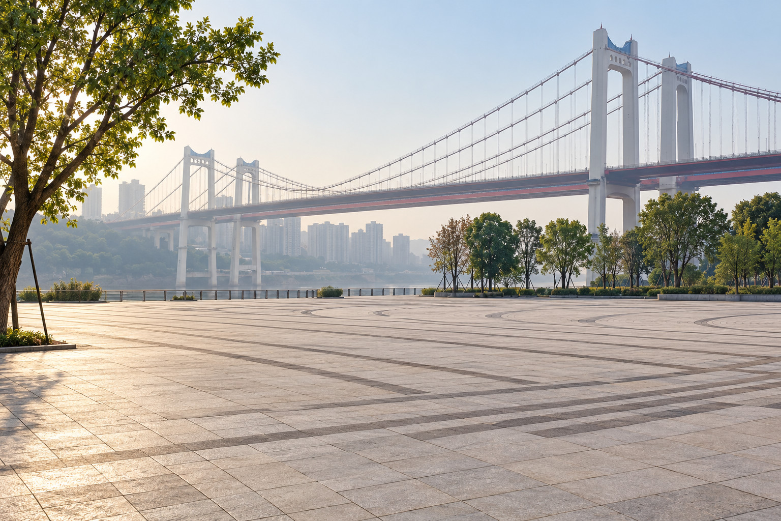
Cover illustration: AI illustration based on historical photo references. Jiubin Road corridor: suspension bridge and riverfront plaza context; the exact square is not identified as Jiulongtan. The scene and details are approximate, not a current photograph or proof of public access, a public path or an authorized viewpoint.
Historical photo reference only; original not republished; the reference grants no reuse permission: 西南影像 on The Paper contributor platform / 西南旅游周刊 / 范永根 (photography credit)
This guide contains four explicitly labeled AI scene illustrations from historical photo references and one original localized planning diagram. Photograph capture dates and current access are not established by the page update dates. No independent review is claimed.
For a Jiulong riverfront walk in 2026, start with Jiulongtan Square and choose an open public riverside section before extending the outing. Chongqing’s July 2024 government profile describes a route toward Egongyan Bridge and a 199-metre copper relief. Treat that as a dated orientation, with water-level restrictions and the return route checked on arrival.
This guide concerns the Yangtze-facing public spaces around Jiubin Road, Jiulongtan and the Jiulong Outer Bund. It does not turn the entire Jiulongpo riverbank into a continuous walking itinerary. Names such as Jiulongtan Square, Jiulong Outer Bund and Jiulong Peninsula can describe overlapping visitor areas while pointing to different arrival places on a map.
Save 九龙滩广场 as a starting-point search and 九滨路 as the road reference. Confirm the exact public entrance or meeting point before travelling. A measured, daylight out-and-back gives you river views and some of the waterfront’s cultural detail without requiring a crossing of every low-level path or an unverified connection to Graffiti Street.
Start with the riverfront’s actual location
The municipal government’s public-space profile, visibly dated July 17, 2024, places Jiulong Outer Bund east of Jiubin Road and north of Egongyan Bridge, near the Yuzhong–Jiulongpo boundary. Its suggested sequence descends from Jiulongtan Square to a waterside path and heads toward the bridge. This is the geographical core of the walk.
At the square, locate the current public signs and look at the river before deciding which level to use. Identify an open return connection to Jiubin Road. If the lowest path is closed, the visit can remain at a higher public viewpoint. The aim is to understand how the river and city meet, not to reach the waterline at all costs.
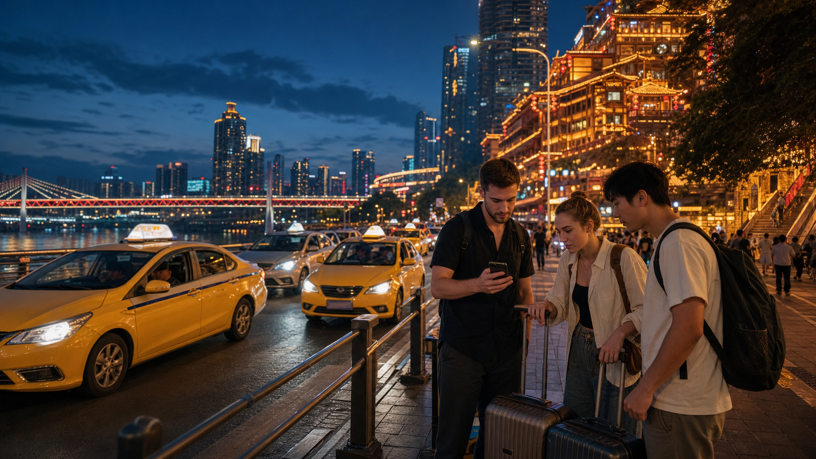
Keep the Chinese place name available offline. When booking a car, distinguish a roadside drop-off from a lower riverside meeting point. A driver may be able to reach one but not the other. Choose a legal pickup point that both parties can identify, and do not ask a vehicle to wait on a road section where stopping is prohibited.

AI illustration based on historical photo references. Jiubin Road corridor: red road-level sidewalk and blue-white railing. The scene and details are approximate, not a current photograph or proof of public access, a public path or an authorized viewpoint.
Historical photo reference only; original not republished; the reference grants no reuse permission: 西南影像 on The Paper contributor platform / 西南旅游周刊 / 范永根 (photography credit)
Read the copper relief before extending the route
The 2024 government profile of Jiulong Outer Bund identifies the Changjiang Wanli Tu copper relief as 199 metres long and 2.8 metres high. Its subject follows the Yangtze from mountain sources toward the sea while incorporating Chongqing’s urban landscape. It provides a concrete focus for a walk that might otherwise become a search for a dramatic skyline photograph.
If the relevant path is open, look at a manageable portion slowly. Identify how bridges, hills, roads and water are represented, then compare that constructed image with the river in front of you. You do not have to inspect the whole work to understand its purpose. Keep moving when people need the path, and avoid touching or climbing decorative elements.
For photographs, include enough surrounding space to show that the work belongs to a riverfront setting. A close detail can be attractive but difficult to identify later. Make a note of the title where it is posted, and do not attribute the work to an artist unless a reliable label or source establishes the credit. The riverfront’s interpretation deserves the same care as a museum caption.
Distinguish a path network from one tourist walk
A Jiulongpo culture-tourism authority reply dated May 23, 2023 records a completed riverside path system totaling 5.4 kilometres, connecting Jiulongtan Square, Jianshe Wharf, Longfeng Temple and peninsula recreation areas. The document describes multiple path types and a district-level network. Its total is not the distance of this suggested out-and-back.
A separate September 2022 report on The Paper describes the Jiubin Road sidewalk corridor as approximately 2.4 kilometres between the square and the peninsula lighthouse. That figure concerns the roadside corridor. It should not be added to the network total or treated as a measurement of the low waterside path. Different descriptions can be accurate while measuring different things.
Choose your own turnaround point from what is visibly open, such as a signed junction or a viewpoint you can comfortably return from. If you want to continue toward Jianshe Wharf or Longfeng Temple, check the connection independently before leaving the familiar section. A line drawn along the bank on a map is not evidence that a public path passes through every intervening property.

Original planning card; all labels also appear as selectable text below. Planning checklist only, not a route map or access audit. Follow current local signs and instructions.
Original editorial planning diagram based on this article; not a photograph or geographic map.
Visit planning: Jiubin Road riverfront
Choose a small focus:
- Distinguish roadside and lower paths.
- Choose a short out-and-back.
- Observe the river from public space.
Check before continuing:
- Which level is open today?
- Are any barriers or closures in place?
- Where is a lawful return pickup?
Planning checklist only, not a route map or access audit. Follow current local signs and instructions.
Give the approach its own time and effort
Chongqing Daily’s March 25, 2025 field report estimated roughly half an hour on foot from Xiejiawan’s Loop Line station to Jiulongtan. It also described a difficult parking attempt near the riverfront. These are dated reporting observations, not a timed route or a prediction of traffic on your day.
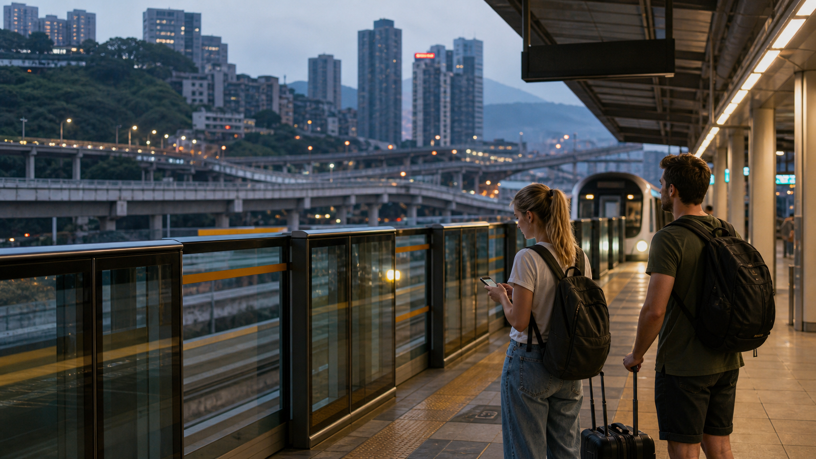
The practical consequence is to avoid treating the waterfront as a station-exit attraction. Check the full approach, road crossings and elevation changes in current navigation. If walking there would consume the energy you intended for the river, consider a confirmed public-transport connection or a booked vehicle to a suitable entrance. This guide has not verified current bus departure times, stops or fares.
The 2023 authority reply mentions a D299 sightseeing loop linking district attractions. Its historical existence is useful background, but insufficient for planning a return departure today. Find a current operator listing before relying on it. For the more general journey, use our metro guide and taxi and ride-hailing guide, then verify the riverfront-specific last mile separately.
Let river conditions decide which level you use
The 2023 district reply on Jiulong’s tourism routes distinguishes active-use, waterside and adaptable riverside paths within the network. That is a reminder that the waterfront was designed around changing conditions. It does not provide a live assessment of inundation, cleaning, repair work or access on October 1, 2026.
Read barriers and notices literally. If a stair is closed, do not descend by a planted slope or follow somebody around the end of a fence. A dry-looking patch farther down the bank does not prove a safe connection back to the promenade. Keep the walk on signed public surfaces and leave the exposed shore alone when its status is unclear.
After wet weather, shorten the plan if surfaces look muddy, slippery or difficult to judge. Strong wind or poor visibility can also make a higher, shorter visit more sensible. Children should remain with an adult on the public path, and photography should never involve leaning over a rail or stepping onto a river structure. This route is an urban walk, not a beach, swimming recommendation or invitation to approach working boats.

AI illustration based on historical photo references. Jiubin Road corridor: planted sidewalk edge; directional markers are outside the frame. The scene and details are approximate, not a current photograph or proof of public access, a public path or an authorized viewpoint.
Historical photo reference only; original not republished; the reference grants no reuse permission: 西南影像 on The Paper contributor platform / 西南旅游周刊 / 范永根 (photography credit)
Notice the road-level landscape as well
The September 27, 2022 sidewalk report describes rust-red and green-blue paving and work linking the Jiubin Road pedestrian corridor with adjoining paths. This makes the roadside environment part of the riverfront story, rather than merely something to hurry past. The report’s accessibility-design language, however, is not a current audit of a complete visitor route.
Look at how a public path meets stairs, a road crossing and a rest area. For a visitor using wheels, those junctions matter more than whether an isolated stretch appears smooth. Check the next connection before descending to another level. If a companion cannot comfortably return along the same route, remain at an accessible verified section rather than assuming another exit will solve the problem.
The 2025 Chongqing Daily report records seating, fitness equipment and children's play facilities at Jiulongtan. Their present condition and availability were not checked for this guide. Identify a usable rest point when you arrive, and do not build the visit around an unverified toilet, vending machine or play area. Carry what you need for the walk you actually choose.
Keep optional museums and graffiti visits separate
The 2023 culture-tourism reply groups riverside public spaces with museums, Huangjueping and shopping destinations in district tourism routes. That is useful for understanding the area, but a promotional circuit does not establish how much can comfortably be visited on foot, which interiors need tickets or which entrances are open.
If a museum or vessel exhibition is important to you, verify its own admission arrangements first and give it a separate time allocation. Seeing a vessel from a public path is different from entering an exhibition. Do not cross a barrier, railway area or waterfront service zone because it seems to connect the two. Return to a confirmed public street when the route is unclear.
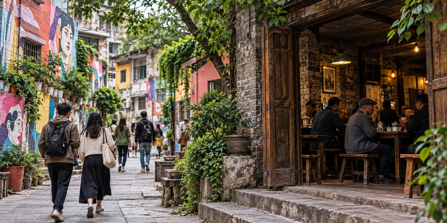
For Huangjueping’s art streets and teahouse context, use the dedicated Huangjueping guide. The purpose of this Jiulong walk is different: river scale, public-space design and a small number of identifiable waterfront details. Finish when those have been satisfying, with enough energy left for your actual onward journey rather than an extra stop added because its name appears on the same district map.

AI illustration based on historical photo references. Jiubin Road corridor: a lower path among trees beside the river; no continuous connection or current water level is verified. The scene and details are approximate, not a current photograph or proof of public access, a public path or an authorized viewpoint.
Historical photo reference only; original not republished; the reference grants no reuse permission: 西南影像 on The Paper contributor platform / 西南旅游周刊 / 范永根 (photography credit)
Frequently Asked Questions
Q: Where should I start a Jiulong riverfront walk? A: Jiulongtan Square, 九龙滩广场, is the starting point used here. Chongqing’s July 2024 profile describes descending toward the waterside path and Egongyan Bridge, subject to the public route being open when you arrive.
Q: Is the Jiulong walk 5.4 kilometres long? A: The 5.4-kilometre figure in Jiulongpo’s May 2023 reply describes the combined riverside path system. It is not a verified length for this short Jiulongtan out-and-back or proof that every connecting section is currently open.
Q: Can I walk directly from Xiejiawan station to the waterfront? A: A March 2025 Chongqing Daily report estimated roughly half an hour from Xiejiawan’s Loop Line station to Jiulongtan. Check the current approach and road levels; this guide has not tested a specific station-exit route.
Q: Can I go down onto the exposed shore at Jiulongtan? A: Do not treat exposed land beside Jiulongtan as an invitation to leave the public path. Water levels and access restrictions change; follow current barriers and staff instructions, and keep the walk above any closed section.
Q: Does this walk include Huangjueping Graffiti Street? A: No. This guide focuses on Jiulongtan and the Jiubin Road riverfront; Huangjueping is a separate optional visit requiring its own route and time plan.
About This Guide
Research was read on October 1, 2026 from municipal and district records, Chongqing Daily field reporting and a Jiubin Road renewal report. Source publication dates are retained, including dates that differ from URL folders. The route is an editorial suggestion, not a walked or accessibility-tested itinerary. Current closures remain unverified. No independent review is claimed.
Traveler comments
Share a recent experience or ask a practical question about this guide.