
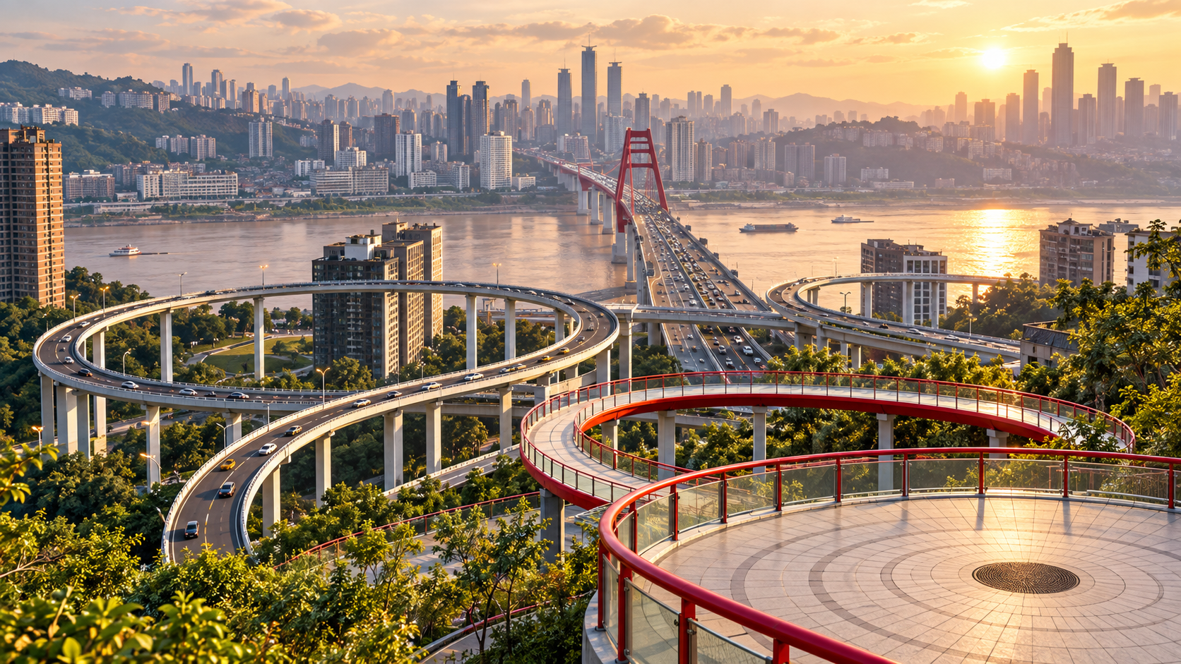
For a short Tongyuanju visit in 2026, make Sujiaba’s viewing platform your main stop. Official tourism reporting places the hillside route beside Line 3’s Tongyuanju station. I would go to understand the roads, river and neighborhood together, while checking current pedestrian access rather than assuming a stair-free route.
AI-generated illustration inspired by a real Sujiaba reference. It does not show the current view or provide navigation guidance.
Make the viewing platform your main objective. Treat a longer neighborhood walk as optional, after checking the weather, your energy and the route back. This is a working residential area with an industrial past, so the visit works well as a thoughtful pause rather than a hunt through every staircase for an undiscovered photo spot.
First, separate the three names
Tongyuanju (铜元局) is the neighborhood name and the name of the nearby Line 3 station. Sujiaba Trail (苏家坝步道) is the hillside pedestrian connection. The viewing space is also described as Tongyuan Zhiguang (铜元之光), often translated as “Light of Tongyuan.” Government and tourism descriptions link these names to the same area of urban renewal beside the Sujiaba interchange. Chongqing government · iChongqing trail report
Save both 铜元之光观景平台 and 苏家坝步道 in your phone. A broad search for the neighborhood can place your destination somewhere different from the pedestrian entrance. Before leaving, check the final approach to the platform, not just whether the map says you have reached Tongyuanju.

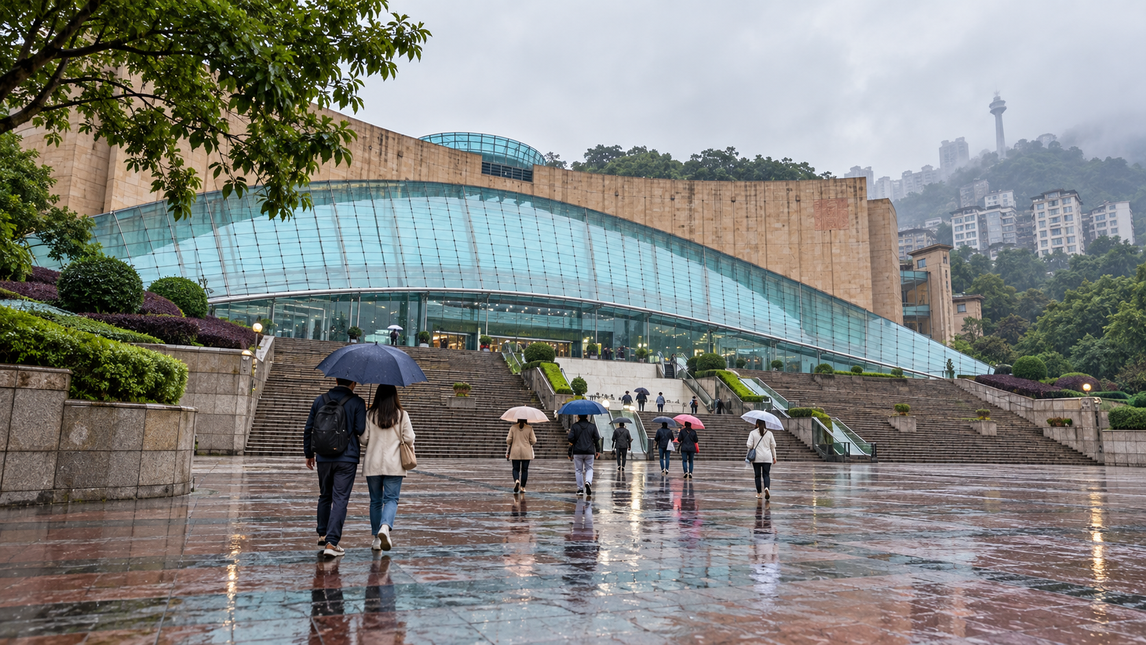
AI-generated scene based on a real Sujiaba viewing-platform photograph; it illustrates the setting, not current access or conditions.
Why a place is named after copper coins
The district's name comes from a copper-coin manufacturing bureau established here in the early twentieth century. Chongqing's Civil Affairs Bureau traces its origins to a 1905 initiative linked to financing the Sichuan–Hankou railway. Later industrial activity helped shape the settlement around it. Official place-name history
A September 2026 Chongqing Daily history essay describes the area's progression from mint-related industry to wartime manufacturing and the Changjiang Electrical Works, followed by a much-changed residential and transport landscape. Use that history as context for the name; it does not establish that former factory buildings are open for tourist visits today. Chongqing Daily history
There is no need to find a surviving machine or enter an old compound to make the stop worthwhile. Look at how routes connect homes on different levels. The interesting question is how people move between those levels in everyday life, and how a formerly industrial place has changed around them.
Approach from the station, then reassess
The published trail description places it at Tongyuanju station on Chongqing Rail Transit's Line 3. It identifies views towards Sujiaba Interchange, Caiyuanba Yangtze River Bridge and the Yuzhong Peninsula. That makes the station a useful arrival anchor, but it is not proof that every exit or lift will suit your needs on the day. iChongqing trail report
At the station, ask for the public pedestrian route to the observation platform. Follow current signs and barriers. Do not copy a vehicle route onto an interchange ramp or assume that a road overhead has a walking connection beside it.
Once you can see the route conditions, make a simple decision:
- Continue if the public access is clear, the surface is comfortable and everyone is happy with the remaining climb
- Shorten the visit if the weather obscures the view or someone is already tired
- Choose another outing if the route depends on a lift that is not working, or you cannot confirm a suitable way back
Do not judge the effort by the straight-line distance between two map pins. A short horizontal separation may still involve a significant change of level.

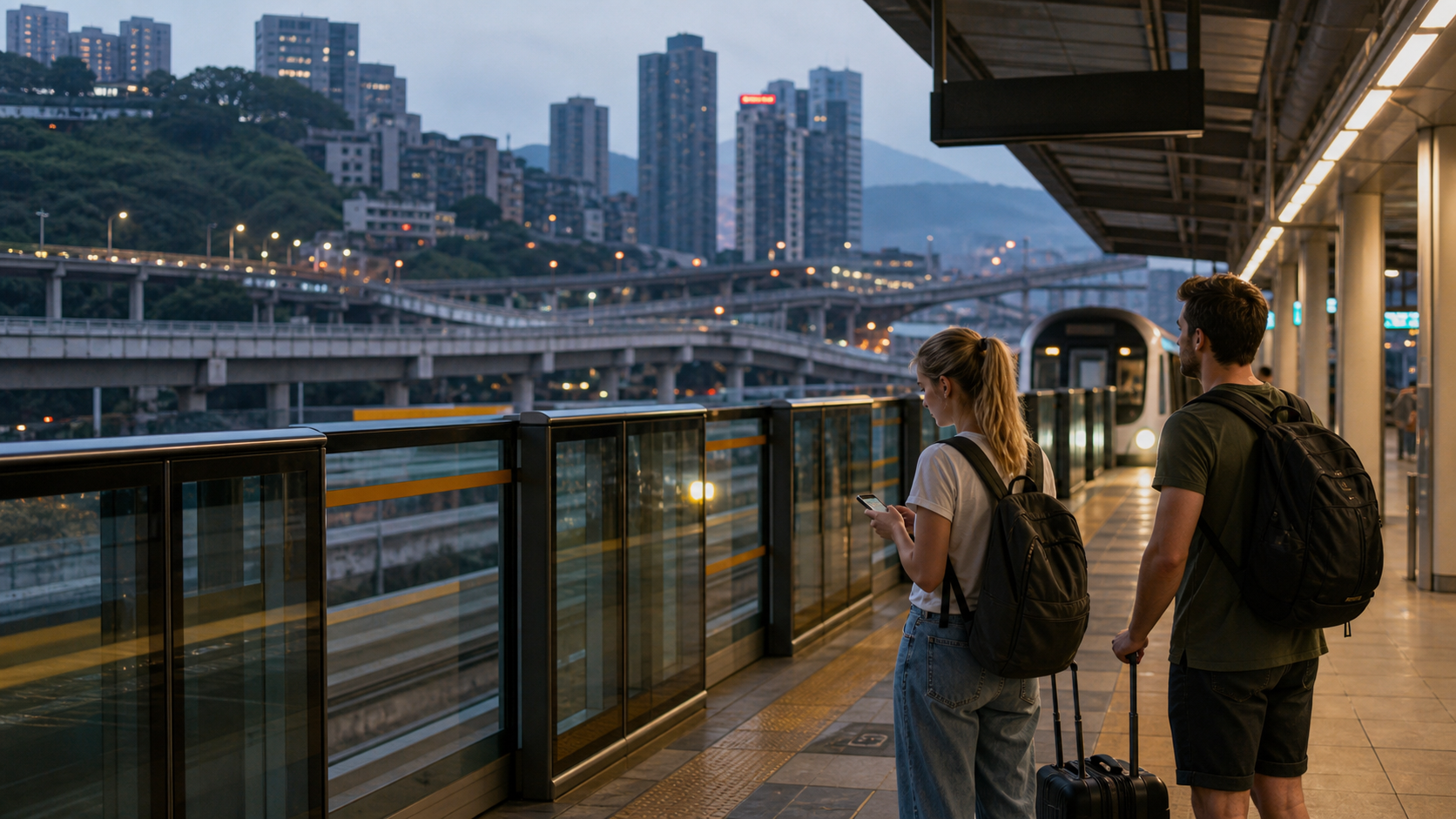
Reference-based AI scene illustrating Sujiaba’s layered terrain; it is not a walking map or proof of a step-free route.
Check the lifts rather than relying on an old description
The project's original reporting mentions escalators and other pedestrian facilities. That describes infrastructure, not a daily service guarantee.
There is a specific reason to be cautious. A June 2025 government response recorded a temporary closure of one lift and three escalators serving Tongyuan Zhiguang; the response said all four were repaired and back in operation by June 10. That is evidence of a past repair, not evidence of an outage today. Government maintenance response
If step-free access is essential, confirm the complete route from arrival to viewing area and back on your visit date. A promise that “there is an elevator” does not answer whether it reaches every required level. Give yourself permission to change plans if the answer is unclear.
For a taxi arrival, ask where pedestrians may safely enter the public route. A suitable drop-off is a legal stopping point with an understandable approach; a pin directly beside the platform can be on the wrong level.

Access key: 1 arrival level; 2 whether the lift is operating today; 3 return route. Check the complete journey; the diagram does not promise step-free access.
Read the view before taking the photograph
Try a daylight visit if your aim is to understand the structures. First look for the interchange's curves, then the bridge crossing the river, then the opposite urban bank. A photograph containing all three can communicate the relationship more clearly than a close crop of one ramp.
This is a composition suggestion, not a guarantee of visibility. Fog, rain and construction can change what you see. Avoid promising yourself the identical scene from a viral image, which may have been taken with a long lens or from a position unavailable to pedestrians.

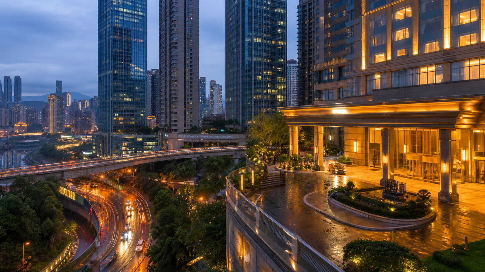
AI-generated blue-hour scene based on historical Sujiaba photographs; visibility, lighting and access vary.
Stay inside public viewing areas and behind barriers. Do not climb onto railings, enter service spaces or step into traffic for a clearer angle. Keep bags and tripods out of the passage; the route also serves residents who are trying to get somewhere.
For photographs that include people close up, ask first. A stairway serving homes is not a set, and a doorway is not an invitation to enter. If the route begins to feel like an intrusion, return to the designated public viewing space.
Notice how the neighborhood works
After the broad view, look at the smaller connections: where a pedestrian route leaves a road, which direction people take towards homes, and where the apparent upper and lower streets meet. You do not need to follow residents to notice how a public route is used. Observe from the platform or another place where stopping does not obstruct anyone.
The neighborhood's industrial history can also make you a more careful observer. A building that looks old is not necessarily part of the former mint or factory. Read any public interpretation before assigning it a history, and distinguish an original structure from a later renovation. The sources establish the area's industrial story, not the age of every doorway or wall visible today.
If you enjoy keeping travel notes, write down one thing the view explained: perhaps why a station needs several levels of access, or how a bridge approaches a steep urban bank. That gives the photograph a useful caption of your own. It also avoids relying on dramatic labels such as “the world's most complicated road” that this guide has not verified.
This is a good place to keep your route modest. Understanding one public space can be more satisfying than adding a string of unresearched nearby pins. If you continue into the neighborhood, choose public streets and keep a clear route back rather than using private compounds as shortcuts.
Keep the rest of the outing flexible
After the platform, decide whether you actually want a longer walk. There is no need to append a second riverfront destination merely because it appears nearby on a city map. A meal or another attraction should have its own checked entrance and return plan.
The most useful ending is straightforward: return by a route you understand, or use a verified pickup point. Save your accommodation's full Chinese address before the visit. If your next commitment is a train, flight or timed booking, leave enough margin for a changed pedestrian route instead of treating the viewing stop as a fixed-duration activity.
Five phrases for a less confusing visit
- 请问,去铜元之光观景平台怎么走? — How do I get to the Tongyuan Zhiguang viewing platform?
- 这是去苏家坝步道的人行通道吗? — Is this the pedestrian route to Sujiaba Trail?
- 今天电梯和扶梯正常运行吗? — Are the lift and escalators working today?
- 有没有不用走楼梯的路线? — Is there a route without stairs?
- 回铜元局地铁站走哪边? — Which way goes back to Tongyuanju metro station?
About This Guide
Sources checked on September 30, 2026. This guide is based on published government, tourism and local-history material, not an in-person access inspection. It does not promise current lift operation, a step-free route, opening hours or a particular photography position. The cover and three body scenes are labelled as reference-based AI illustrations. They do not document the current view or access conditions. The access-check diagram is an original guide, not a navigable map.
Frequently Asked Questions
Q: Is Tongyuanju mainly a night-view attraction?
A: You can choose the time around what interests you. This guide favors daylight for reading the relationships between roads, the river and the hillside. A night photograph has a different purpose and needs its own checks for public access, visibility and the return journey. No illumination schedule or late-opening guarantee is established here.
Q: Is this a substitute for a factory or industrial museum visit?
A: Plan for a public viewpoint and neighborhood context. The historical sources explain how industry shaped Tongyuanju, but they do not establish tourist admission to a former mint or factory. If seeing machinery or entering a preserved workshop is essential to your day, choose a specifically verified venue instead of assuming you will find one here.
Q: Can I rely on lifts to avoid all stairs?
A: Check the full route for your visit date. A working lift at one point does not establish step-free access between your arrival point, the platform and your return transport. If stairs are not an option, ask that precise end-to-end question before setting out and have an alternative ready if the answer is uncertain.
Q: Should I ask a taxi to drop me at the viewing platform?
A: Ask for a safe, legal pedestrian access point and verify which level it serves. A platform pin may not identify a place where a vehicle can stop. Keep the platform's Chinese name and a screenshot of the agreed approach available, and do not ask the driver to improvise a stop on an interchange ramp.
Q: What if the view is poor when I arrive?
A: You can make a short visit simply to understand the public route, or leave without chasing a better angle. Weather and visibility are part of an outdoor stop. Do not climb beyond barriers or enter residential buildings to compensate for a disappointing photograph; move the rest of your day to a destination you can verify and enjoy.
Traveler comments
Share a recent experience or ask a practical question about this guide.