
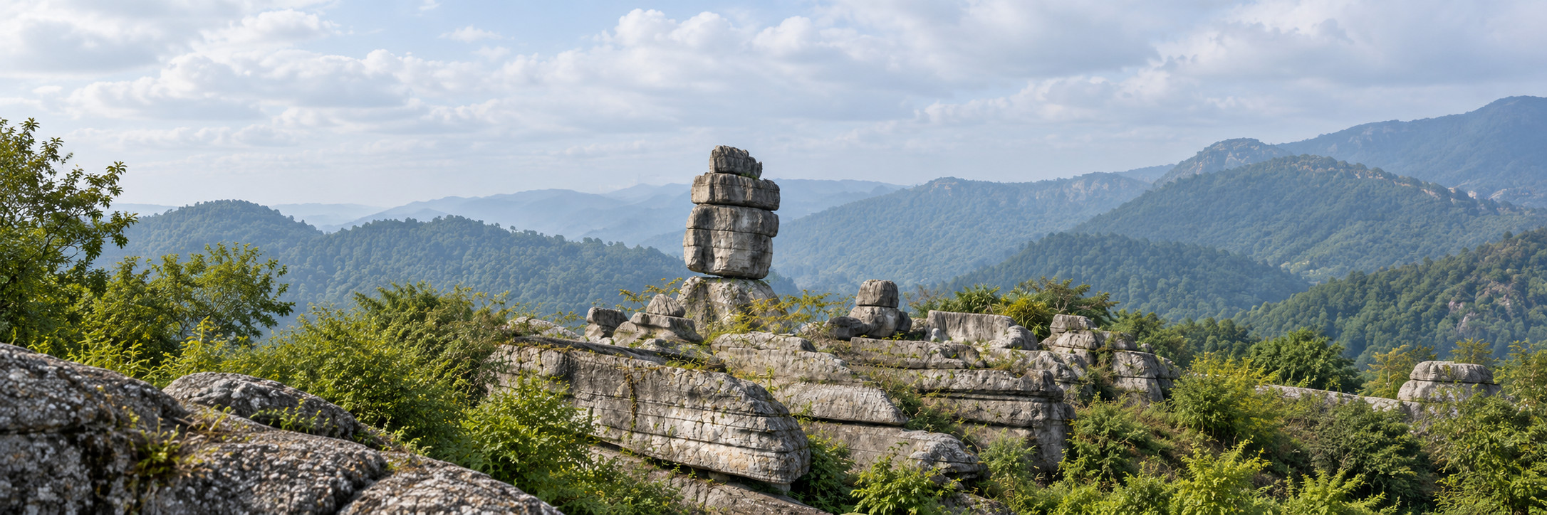
Cover illustration: A tall, segmented dark-gray limestone column rises amid greenery. AI-generated illustration based on historical Wansheng photographs. Geological details are approximate; this is not a current photograph and must not be used for navigation.
Historical reference photographs: Konrad Shek / Flickr, Wansheng government, iChongqing
The cover and three scene illustrations are AI-generated from historical Wansheng photographs. Their geological details are approximate and do not verify specific formations or geological interpretations. They are not current photographs, evidence of present conditions or navigation aids. The fourth body visual is an original informational diagram based on this guide, not a route map or a geological reconstruction.
Wansheng Stone Forest in 2026 suits a deliberate landscape walk: look at the outlines, then the rock surfaces, then the interpretation. Wansheng's government identifies stone fans, drums and turtles among its features. Give this one attraction its own visit rather than assuming it is a short extension of Black Valley.
The useful question is not how many named stones you can collect. It is whether your group enjoys looking closely enough to notice how a rock changes when viewed from another position. A short pause at a labelled feature can be more rewarding than rushing past a long list of poetic names.
This guide is based on source reading, not an on-site inspection. It sets out an observation-led visit and the questions to settle before leaving Chongqing. It does not promise a particular path, cave opening, performance, ticket price or transport connection on your date.
Resolve Wansheng’s names and plan the journey
Save both 万盛石林, Wansheng Stone Forest, and 龙鳞石海, Longlin Shihai, in your map notes. A Wansheng government response about the attraction's name explains the 2009 renaming and explicitly says the two names refer to the same scenic area. An unfamiliar English translation on a ticket need not mean a second destination.
However, the attraction name and the pickup point are different pieces of information. Send a driver the exact visitor entrance confirmed for your booking, and ask which place to use for collection afterward. Do not assume a pin for the wider scenic area marks an entrance that is accepting visitors.
Keep the Chinese name visible when comparing listings. An English search for “Stone Forest” can also return destinations outside Chongqing. The address should match Wansheng's Shilin area. Confirming the name is a small task that prevents a much larger transport mistake, especially when another person is arranging the day for you.

An oblique landscape view brings together broad limestone masses, woodland and a tall rock wall on the right. AI-generated illustration based on historical Wansheng photographs. Geological details are approximate; this is not a current photograph and must not be used for navigation.
Historical reference photographs: Wansheng government, iChongqing
Keep Stone Forest and Black Valley distinct
Their shared tourism history can make two outings appear to be one continuous attraction. The government's naming response records their joint rating application in 2012, but a shared designation does not establish a single entrance, transferable ticket or walkable connection between the experiences.
For this day, prioritise the stone landscape. If you want to add Black Valley, first establish its separate access and transport requirements, then decide whether doing so would force you to rush the subject you came to see. A map that puts both within the same region is insufficient evidence for a comfortable combination.
The same principle applies to Chongqing's other karst destinations. The existing Wulong day-trip guide covers a different visit. Do not import its railway directions, gateway arrangements or visitor facilities into a Wansheng plan because both destinations feature dramatic stone scenery.
Make the return leg part of the booking conversation
The transport problem has two parts: reaching the confirmed entrance and returning from the confirmed exit. Agree on both before travelling. If using a car service, ask whether waiting is included, where the driver will meet you, how a delay is handled and what the quoted total covers.
A public August 2026 trip report describes visitors arranging for their driver to wait at Wansheng. That is an individual experience, not a fare guide or evidence that another driver will offer the same arrangement. The transferable lesson is to settle the return rather than depend on an untested pickup request later.
If considering public transport, verify the current boarding point, destination and final return with the service provider. Secondary articles contain bus numbers and schedules that have not been corroborated for this guide. Do not arrange a tight rail departure around one of those numbers simply because the webpage has a recent-looking heading.
Keep your return address, the attraction's Chinese name and the agreed pickup point available offline. For broader transport preparation, see the site's taxi and ride-hailing guide. It supports the booking conversation; it does not replace a date-specific mountain transfer arrangement.
Read the stone landscape and choose an open walk
The Wansheng attraction profile, dated 30 January 2025 describes named stone shapes, caves and fossil interpretation. Those are useful themes for a visit. Its promotional claims about comparative age should not become a competition with every other stone forest in China.
Try three observation questions. What is the overall silhouette? What changes in texture can you see from the permitted path? What does the interpretation say about material within the rock? These questions distinguish a fanciful name such as “turtle” from a scientific identification. A resemblance to an animal is not itself a fossil.
Likewise, an age attached to the rock should not automatically be read as the age of every visible pillar or of the present visitor landscape. This guide does not assign its own geological chronology. Use the site's interpretation for the feature in front of you, and retain uncertainty when a label is unclear or a translated description seems inconsistent.
For a family, turn the walk into observation rather than collecting. Ask a child to sketch a shape or describe its layers from the walkway. Leave stones, fragments and surfaces untouched. A drawing records the visit without requiring anyone to climb a formation, reach beyond a barrier or remove a souvenir from the site.
Build a walk from the route that is actually open
Before entering, ask staff to show the available route and its exit on the current visitor map. Make one decision early: whether the full permitted circuit matches everyone's walking capacity. Named sights in a general introduction do not establish that every connection between them is operating.
Ask specifically about steps, narrow passages, caves and any transport used to shorten the walk. If a member of your party uses a wheelchair, stroller or walking aid, request details of the actual path surface and unavoidable steps. The word “scenic area” provides no answer about accessibility, and an optional vehicle may serve one section without solving the rest.
Choose a route that leaves time for stops. Have everyone look at the same map before splitting up for photographs, and agree on a meeting place within the permitted visitor area. A list of formation names is not a reliable set of navigation instructions, particularly if English signs use different translations.
The Trip.com destination page is useful for matching the destination name. Its suggested visit length is a platform estimate, not a requirement or a statement about your group's pace. Use the current route and your confirmed return time to set the limit instead.
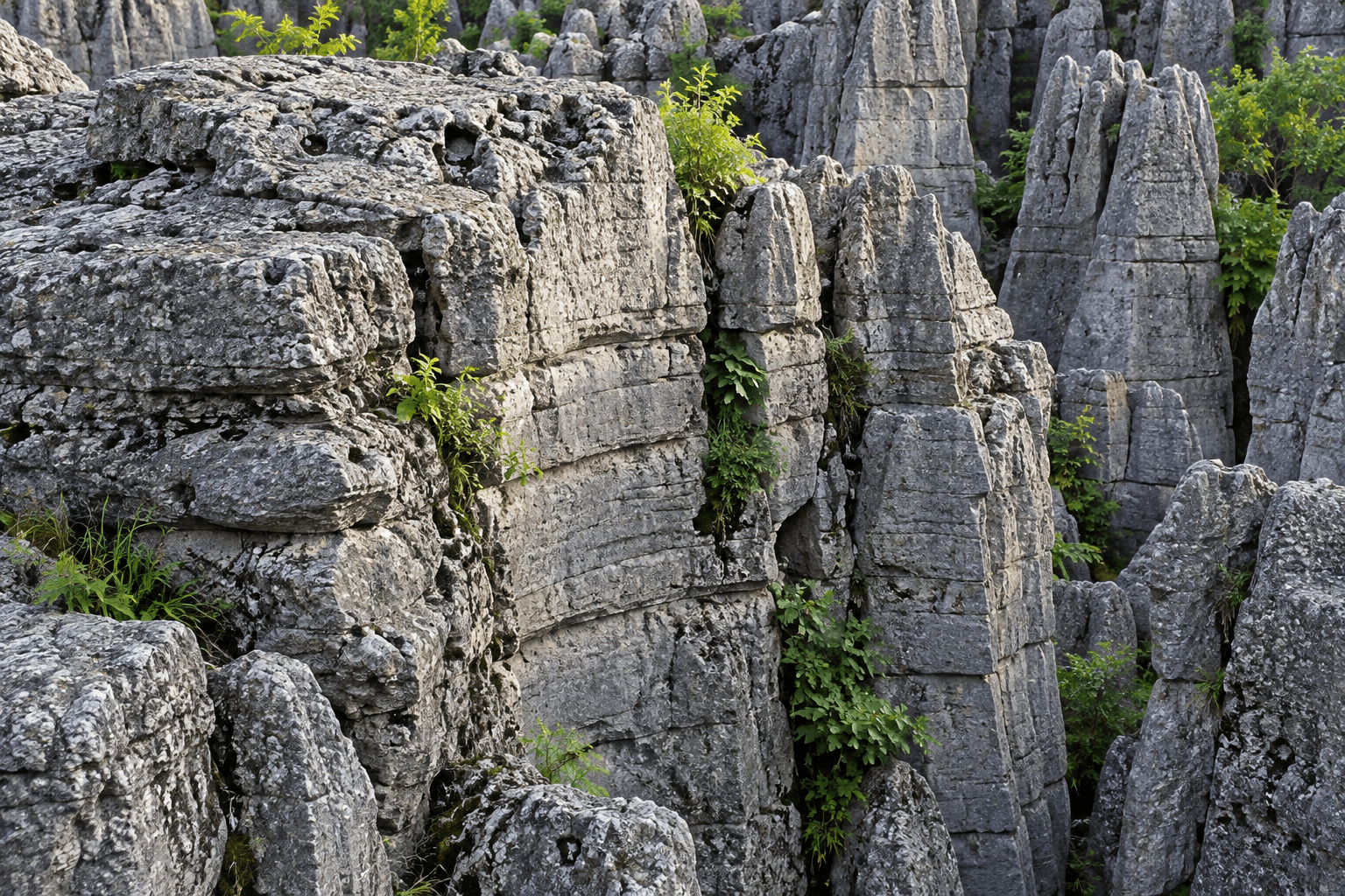
A closer view shows gray rock surfaces, horizontal bands, vertical fissures and small plants. AI-generated illustration based on historical Wansheng photographs. Geological details are approximate; this is not a current photograph and must not be used for navigation.
Historical reference photographs: iChongqing
Treat caves and fossil sections as separate choices
A cave photograph can make an underground section look like a natural continuation of the outdoor walk. Before following that assumption, ask whether that section is open, included in your chosen product and connected to the exit you intend to use. Those are three different checks.
Travel China Guide's Wansheng page describes both surface formations and underground karst caves. It also contains detailed dimensions and older practical information. This article uses that division of experiences, without turning the page's timings, fares or passage measurements into current promises.
If a cave is open but someone dislikes enclosed spaces, decide together whether to omit it or ask about an authorised alternative. Do not leave that person waiting at an uncertain exit while the rest of the group commits to a route. A reduced outdoor visit can still have a coherent purpose: silhouettes, surfaces and interpretation.
In fossil sections, compare the explanatory label with what you can genuinely see. Photograph the label for later translation where photography is allowed. Avoid drawing confident conclusions from a coloured patch alone. The useful experience is learning to ask a more precise question, not leaving with a dramatic but unsupported identification.

Irregular upper rock forms meet a wooded hillside in this detail view. AI-generated illustration based on historical Wansheng photographs. Geological details are approximate; this is not a current photograph and must not be used for navigation.
Historical reference photographs: Wansheng government, iChongqing
Finish the plan with a short, practical checklist
Write down four confirmations: the entrance, the chosen open route, the exit and the return transport. Then add the current booking conditions, including whether any internal transport or cave section costs extra. A low headline ticket price is not a complete trip budget.
Pack for an outdoor walking day rather than a photograph stop. Select footwear suitable for the path you have been told to expect, carry drinking water and check the local forecast and operator notices. If conditions lead staff to restrict access, follow the restriction instead of treating a saved map as permission to continue.
For heat and stair-related planning, use the Chongqing walking-comfort guide. Mountain scenery does not by itself establish cool conditions, and shade in one photograph says little about exposure elsewhere on your selected route.

Original informational diagram based on this guide: three observation prompts and four trip confirmations. It is not a route map or a geological reconstruction.
Original editorial diagram based on this guide.
Wansheng: observe and confirm
Three ways to observe:
- Shape: notice the silhouette
- Surface: compare textures
- Interpretation: read the labels
Four trip confirmations:
- Entrance
- Open route
- Exit
- Return transport
Planning prompts only. Confirm access with the operator; this is not a route map.
About This Guide
Prepared through automated English-language desk research on 1 October 2026, using official Wansheng material, travel-platform pages and a public visitor report. There is no claim of a firsthand visit or independent human review. Current access, prices and transport remain subject to operator confirmation. This guide includes four AI-generated illustrations based on historical Wansheng photographs and one original article-based informational diagram. No independent human review or reference-photo rights clearance is claimed.
Frequently Asked Questions
Q: Are Wansheng Stone Forest and Longlin Shihai the same place? A: Yes. Wansheng's government explicitly links 万盛石林 and 龙鳞石海; confirm the precise entrance separately when arranging your visit.
Q: Is this the Stone Forest near Kunming? A: No. This guide concerns Wansheng in Chongqing; use 万盛石林 and check the address when searching or booking.
Q: Can Stone Forest and Black Valley share one ticket? A: This guide has not verified a current combined ticket for Wansheng Stone Forest and Black Valley. Their shared tourism designation does not establish today's inclusions, entrance arrangements or transfers.
Q: Does the visit have to include a cave? A: Ask staff about the open Wansheng route and permitted alternatives. Do not assume a cave described in a travel article is open or necessary for your chosen visit.
Q: Is it suitable for a wheelchair or stroller? A: A continuous step-free Wansheng route has not been verified here. Request route-specific surface, step and vehicle details before committing the group.

Traveler comments
Share a recent experience or ask a practical question about this guide.